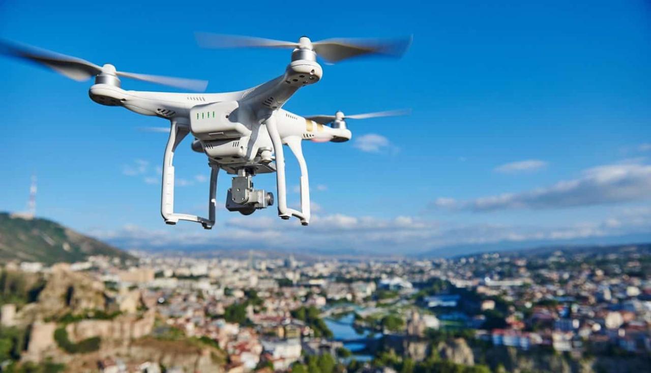
Sky elements drones are revolutionizing atmospheric research! These unmanned aerial vehicles (UAVs) offer unprecedented access to previously unreachable altitudes, allowing scientists to gather detailed data on temperature, humidity, wind speed, and pressure. Imagine a drone soaring through a cloud, capturing images and measurements in real-time – this is the power of drone technology in atmospheric science. This detailed data helps us better understand weather patterns, air quality, and the impact of climate change.
From monitoring air pollution in urban areas to studying the formation of different cloud types, drones equipped with advanced sensors and cameras provide invaluable insights. The data collected can be analyzed using sophisticated image processing techniques, creating 3D models of atmospheric phenomena and stunning visualizations to share findings effectively. This technology is not just transforming how we study the sky; it’s making that research more efficient and accessible.
Drone Technology in Atmospheric Studies
Drones are revolutionizing atmospheric research, offering a cost-effective and flexible platform for data collection at various altitudes. Their maneuverability allows for targeted observations of specific atmospheric phenomena, providing valuable insights into weather patterns, air quality, and climate change.
Types of Drones for Atmospheric Research
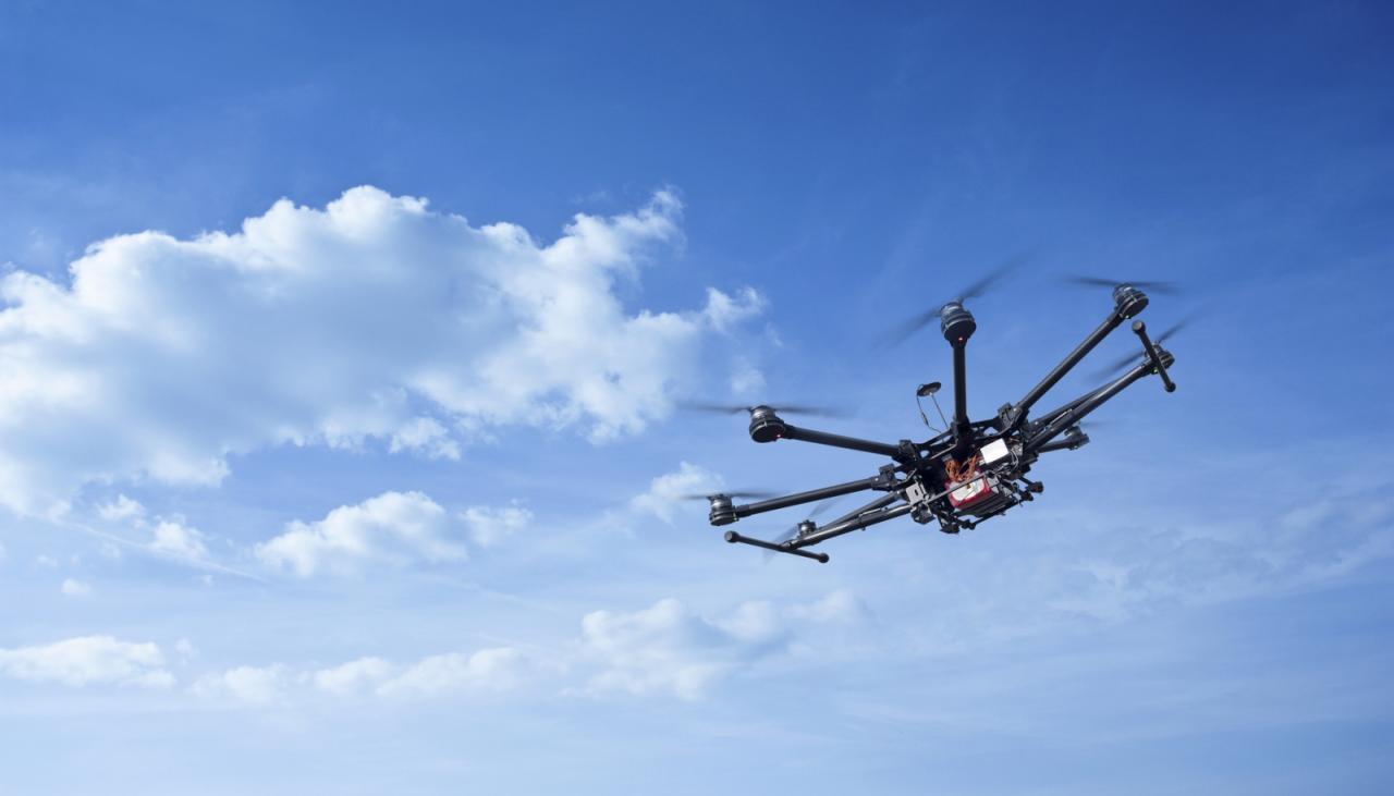
Several drone types are suitable for atmospheric studies, each with unique capabilities and limitations. Fixed-wing drones excel in covering large areas efficiently due to their longer flight times, but their maneuverability is limited. Multirotor drones, while having shorter flight times, offer superior maneuverability and precision for detailed observations in smaller areas. Hybrid drones combine the strengths of both, providing a balance of range and precision.
The choice of drone depends on the specific research objectives and the environment.
Drone-Based Atmospheric Sensor Data Collection
Drones are equipped with various sensors to collect atmospheric data. Temperature, humidity, wind speed, and pressure are measured using sensors such as thermistors, hygrometers, anemometers, and barometric pressure sensors. These sensors are carefully calibrated and mounted to minimize interference and ensure accurate data acquisition. Data is typically transmitted wirelessly to a ground station for real-time monitoring and analysis.
Comparison of Drone-Based and Traditional Methods
Drone-based atmospheric data collection offers several advantages over traditional methods. Compared to weather balloons, drones provide more localized and detailed data, allowing for higher spatial resolution. While satellites provide broader coverage, they often lack the spatial resolution of drone-based observations. Drones bridge the gap between these two methods, offering a flexible and cost-effective solution for targeted atmospheric studies.
Hypothetical Drone Mission: Cumulonimbus Cloud Formation Study, Sky elements drones
To study cumulonimbus cloud formation, a multirotor drone equipped with a high-resolution camera, temperature and humidity sensors, and an onboard GPS would be deployed. The flight plan would involve ascending through the cloud’s base to its top, collecting data at regular intervals. This data, combined with meteorological models, would provide a detailed understanding of the cloud’s vertical structure and its evolution.
Sky elements drones are becoming increasingly popular, offering amazing aerial perspectives. However, recent incidents highlight the importance of safe operation; for example, check out this news report about a drone crash in Paris which emphasizes the need for responsible drone piloting. Understanding regulations and best practices is crucial for ensuring the continued safe and successful use of sky elements drones.
Sky Element Imaging and Analysis with Drones
Drone-captured images provide valuable insights into atmospheric phenomena. Advanced image processing techniques are crucial for extracting meaningful information from these images. These techniques range from simple image enhancement to complex algorithms for cloud classification and pollution monitoring.
Image Processing Techniques for Sky Element Analysis

Image processing techniques used in analyzing drone-captured images include noise reduction, geometric correction, atmospheric correction, and feature extraction. These techniques enhance image quality and enable the accurate quantification of atmospheric parameters. Specialized software and algorithms are employed to identify and classify different cloud types, measure cloud cover, and track the movement of atmospheric features.
Multispectral and Hyperspectral Cameras in Drone-Based Research
Multispectral and hyperspectral cameras capture images at multiple wavelengths, providing detailed spectral information about atmospheric elements. This information is crucial for identifying pollutants, assessing vegetation health, and understanding the composition of clouds. Hyperspectral imagery, with its finer spectral resolution, provides even more detailed information than multispectral imagery.
Comparison of Drone-Mounted Cameras
| Camera Type | Resolution (Pixels) | Spectral Range | Applications |
|---|---|---|---|
| RGB Camera | 12MP – 48MP | Visible (400-700 nm) | General imaging, cloud cover assessment |
| Multispectral Camera | 10MP – 20MP | Visible and near-infrared (400-1000 nm) | Vegetation health monitoring, pollution detection |
| Hyperspectral Camera | 5MP – 10MP | Wide range (e.g., 400-2500 nm) | Detailed atmospheric composition analysis |
| Thermal Camera | 640×512 – 1280×1024 | Infrared (7-14 µm) | Temperature mapping, heat plume detection |
Challenges and Limitations of Drone Imagery for Quantitative Analysis
Despite their advantages, challenges remain in using drone imagery for quantitative analysis. Atmospheric conditions (e.g., haze, fog) can affect image quality, requiring advanced correction techniques. Accurate geometric correction is crucial for precise measurements. Furthermore, the spatial resolution of drone imagery might not always be sufficient for resolving very small-scale atmospheric phenomena.
Drones and Air Quality Monitoring
Drones are increasingly used for air quality monitoring, offering a flexible and cost-effective approach to collecting data in various environments. They overcome limitations of traditional ground-based monitoring stations by providing spatial coverage and data at various altitudes.
Drone-Based Air Pollution Monitoring
Drones equipped with sensors such as gas detectors (measuring pollutants like NOx, SO2, O3), particulate matter sensors (PM2.5, PM10), and meteorological sensors collect air quality data. This data is then analyzed using statistical models and spatial interpolation techniques to create comprehensive air quality maps.
Advantages of Drone-Based Air Quality Monitoring
Drones provide several advantages over traditional ground-based stations. They offer greater spatial coverage, enabling the identification of pollution hotspots. They can access hard-to-reach areas and provide real-time data, facilitating rapid response to pollution events. Their flexibility allows for targeted monitoring of specific pollution sources.
Step-by-Step Procedure for a Drone-Based Air Quality Survey

- Planning: Define survey area, identify potential hazards, obtain necessary permits.
- Sensor Calibration: Calibrate sensors using known standards before deployment.
- Flight Planning: Design flight paths to cover the survey area systematically.
- Data Acquisition: Conduct drone flights, ensuring safe and legal operation.
- Data Processing: Process and analyze collected data using appropriate software.
- Report Generation: Create a comprehensive report summarizing findings and recommendations.
Integration of Drone Data with Other Environmental Data Sources
Drone data can be integrated with other data sources, such as satellite imagery, weather data, and ground-based monitoring station data, to create a comprehensive air quality assessment. This integrated approach provides a more holistic understanding of air quality patterns and their underlying causes.
Sky elements drones are becoming increasingly popular, offering amazing aerial views and diverse applications. However, safety is paramount; a recent incident highlighted this, as reported in this article about a boy hit by drone , emphasizing the need for responsible drone operation. Understanding airspace regulations and operating procedures is crucial for safe integration of sky elements drones into our lives.
Safety and Regulatory Aspects of Drone Operations in Airspace: Sky Elements Drones
Safe and responsible drone operation is paramount. Understanding airspace regulations and implementing safety procedures is crucial for avoiding accidents and ensuring compliance.
Safety Considerations Near Airports and Airspace Restrictions
Operating drones near airports or in restricted airspace poses significant safety risks. Pilots must maintain awareness of airspace restrictions and adhere to all relevant regulations. Maintaining communication with air traffic control is crucial in certain situations. Understanding the limitations of the drone’s range and battery life is essential for preventing unexpected landings in unsafe areas.
Best Practices for Safe and Responsible Drone Operation
Best practices include thorough pre-flight checks, adherence to visual line-of-sight rules, awareness of weather conditions, and maintaining a safe distance from people and obstacles. Regular maintenance of the drone and its equipment is essential. Training and certification of drone pilots are also recommended to ensure safe and competent operation.
Regulations and Permits for Drone Operations
Regulations governing drone operations vary by country and region. Pilots must obtain necessary permits and licenses before operating drones, particularly in controlled airspace or for commercial purposes. These regulations often cover aspects such as drone registration, operator certification, and operational limitations.
Pre-Flight Checklist and Safety Procedures
- Inspect drone for damage
- Check battery levels
- Verify GPS signal
- Review flight plan
- Check weather conditions
- Confirm airspace authorization
- Inform relevant authorities
Visualizing Drone Data: Infographics and 3D Models

Effective visualization is key to communicating the findings of drone-based atmospheric research. Infographics and 3D models offer powerful tools for presenting complex data to both technical and non-technical audiences.
Infographic Visualizing Atmospheric Data
An infographic visualizing drone data from an atmospheric study could include maps showing temperature and humidity variations at different altitudes, graphs illustrating wind speed and direction profiles, and images of cloud formations. A color scale could be used to represent the magnitude of different parameters, enhancing visual clarity and impact. The infographic should clearly label all data points and provide a concise summary of the key findings.
Creating a 3D Model of a Cloud Formation
A 3D model of a cloud formation can be created using point cloud data acquired from a drone equipped with a LiDAR or stereo camera system. The point cloud data can be processed using specialized software to generate a 3D representation of the cloud’s shape and structure. The model can then be further enhanced by adding color and texture based on drone-captured images, providing a realistic visual representation of the cloud.
Benefits and Challenges of 3D Modeling and Visualization
3D modeling allows for immersive exploration of atmospheric phenomena, facilitating a better understanding of their three-dimensional structure and evolution. However, creating accurate and detailed 3D models can be computationally intensive and requires specialized software and expertise. The limitations include the accuracy of the underlying data and the potential for artifacts in the model.
Presenting Drone Data to a Non-Technical Audience
Presenting drone data to a non-technical audience requires simplifying complex information and using visually appealing formats. Infographics, interactive maps, and short videos are effective communication tools. Avoiding technical jargon and focusing on the key findings and their implications for the general public are essential for effective communication.
Wrap-Up
The integration of drones into atmospheric research marks a significant advancement, providing a powerful tool for studying our planet’s atmosphere. The ability to collect high-resolution data from various altitudes, coupled with advanced image processing and data visualization techniques, allows for a deeper understanding of complex atmospheric processes. As drone technology continues to evolve, we can expect even more groundbreaking discoveries and a more comprehensive understanding of the sky above us.
The future of atmospheric science is taking flight, literally!
FAQ Explained
What types of sensors are commonly used on sky elements drones?
Common sensors include temperature and humidity sensors, anemometers (for wind speed), barometers (for pressure), and various cameras (RGB, multispectral, hyperspectral) for imaging.
How do I get permission to fly a drone for research purposes?
Regulations vary by location. You’ll need to check with your local aviation authority and obtain the necessary permits and licenses before operating a drone, especially near airports or restricted airspace.
Sky elements drones are becoming increasingly popular for their stunning visual capabilities. If you want to see some truly amazing drone light shows, check out the incredible displays at the florida drone show ; it’s a great example of what’s possible with advanced drone technology. Afterwards, you’ll have a newfound appreciation for the creative potential of sky elements drones and their breathtaking performances.
What are the limitations of using drones for atmospheric research?
Limitations include flight time restrictions (battery life), weather conditions affecting flight safety, and potential regulatory hurdles in certain airspace.
How expensive are drones suitable for atmospheric research?
The cost varies greatly depending on the drone’s capabilities and the sensors included. Expect a significant investment for high-quality, research-grade equipment.
